Xie’ertala Sandui, (farm village) is located in Inner Mongolia, in China (Asia). It is placed in GMT+8 time zone with current time of 03:15 PM, Thursday. Offset from your time zone: minutes.
| Latitude | 

|
|
| decimal | 49.2804 | |
| DMS | 49° 16' 49.44" N | |
| Distances from | ||
| North pole | 4527.6 km | |
| Equator | 5479.5 km | |
| South pole | 15486.5 km | |
| Longitude | 
|
|
| decimal | 120.04986 | |
| DMS | 120° 2' 59.496" E | |
| Distance from prime meridian: 7651.9 km to East |
||
List of nearest places sort by population
Hailar 26.9 km 250°
250° 125°
125° 89°
89° 276°133°
 32°133°
 61°
61° 120°280°

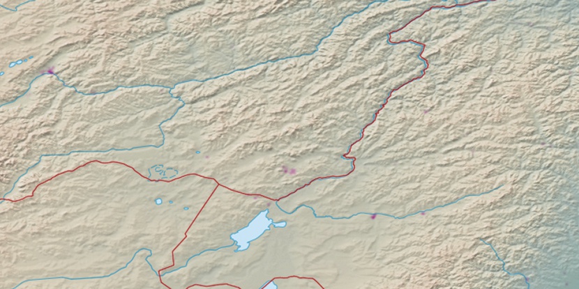
Marker is showing location of Xie’ertala Sandui on map(s). You can click on marker if you want to hide it.
 T: 0.0255 s.
2026 © Location.zone | Terms of use | Contact
 176°
176° 195°
195° 191°
191° 207°
207° 272°
272° 161°
161°