Lung Sang, (ravine(s)) is located in Tibet Autonomous Region, in China (Asia). It is placed in GMT+6 time zone with current time of 12:55 PM, Thursday. Offset from your time zone: minutes.
| Latitude | 

|
|
| decimal | 35.2 | |
| DMS | 35° 12' 0" N | |
| Distances from | ||
| North pole | 6093.2 km | |
| Equator | 3913.9 km | |
| South pole | 13920.9 km | |
| Longitude | 
|
|
| decimal | 84.5 | |
| DMS | 84° 30' 0" E | |
| Distance from prime meridian: 7411.3 km to East |
||
List of nearest places sort by population
Aksu 760.5 km 331°334°
 11°
11° 297°298°
 349°
349° 294°329°
 209°
209° 174°
174°

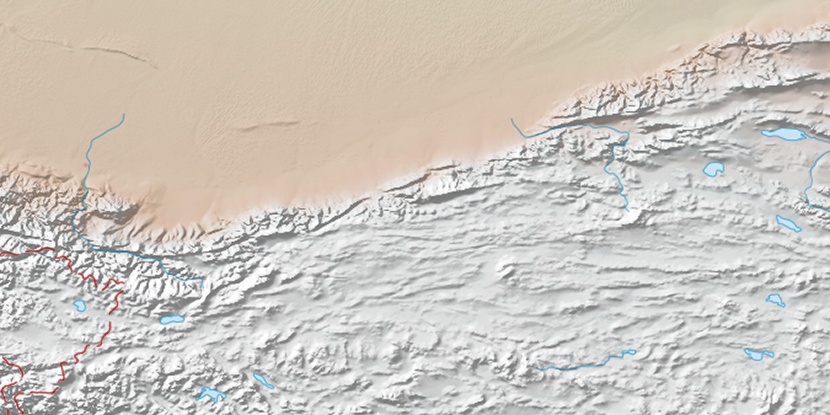
Marker is showing location of Lung Sang on map(s). You can click on marker if you want to hide it.
 T: 0.00578 s.
2026 © Location.zone | Terms of use | Contact
 97°
97° 79°
79° 115°
115° 106°
106° 89°
89° 284°
284° 137°
137° 244°
244°