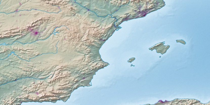
Playa Levante, (beach) is located in Balearic Islands, in Spain (Europe). It is placed in GMT+2 time zone with current time of 02:00 PM, Thursday. Offset from your time zone: minutes.
| Latitude | 

|
|
| decimal | 38.75087 | |
| DMS | 38° 45' 3.132" N | |
| Distances from | ||
| North pole | 5698.4 km | |
| Equator | 4308.7 km | |
| South pole | 14315.8 km | |
| Longitude | 
|
|
| decimal | 1.43816 | |
| DMS | 1° 26' 17.376" E | |
| Distance from prime meridian: 124.7 km to East |
||
List of nearest places sort by population
Ibiza 17.6 km 358°
358° 271°
271° 17°
17° 335°268°
 10°268°
 189°
189° 326°266°

Marker is showing location of Playa Levante on map(s). You can click on marker if you want to hide it.
 T: 0.01456 s.
2026 © Location.zone | Terms of use | Contact
 292°
292° 297°
297° 256°
256° 246°
246° 48°
48° 232°
232° 323°
323° 31°
31° 91°
91° 222°
222° 117°
117°