Punta Sur, (point) is located in Colima, in Mexico (America). It is placed in GMT-7 time zone with current time of 04:51 AM, Saturday. Offset from your time zone: minutes.
| Latitude | 

|
|
| decimal | 19.28638 | |
| DMS | 19° 17' 10.968" N | |
| Distances from | ||
| North pole | 7862.6 km | |
| Equator | 2144.4 km | |
| South pole | 12151.5 km | |
| Longitude | 
|
|
| decimal | -110.82597 | |
| DMS | 110° 49' 33.492" W | |
| Distance from prime meridian: 11339.7 km to West |
||
List of nearest places sort by population
La Paz 542.9 km 5°
5° 15°13°12°15°
 4°7°8°4°15°

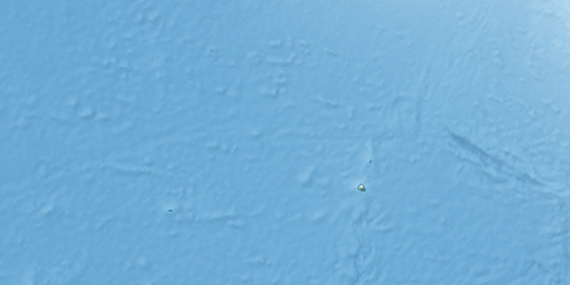
Marker is showing location of Punta Sur on map(s). You can click on marker if you want to hide it.
 T: 0.02501 s.
2025 © Location.zone | Terms of use | Contact
 89°
89° 78°
78° 337°
337° 56°
56° 143°
143° 69°
69° 279°
279° 240°
240°