Rua da Igreja, (populated place) is located in Azores, in Portugal (Atlantic). It is placed in GMT0 time zone with current time of 08:14 PM, Thursday. Offset from your time zone: minutes.
| Latitude | 

|
|
| decimal | 38.58333 | |
| DMS | 38° 34' 59.988" N | |
| Distances from | ||
| North pole | 5717 km | |
| Equator | 4290.1 km | |
| South pole | 14297.1 km | |
| Longitude | 
|
|
| decimal | -28.78333 | |
| DMS | 28° 46' 59.988" W | |
| Distance from prime meridian: 2491.4 km to West |
||
List of nearest places sort by population
Horta 14.6 km 110°
110° 103°
103° 77°
77° 135°
135° 88°100°99°
 115°138°88°

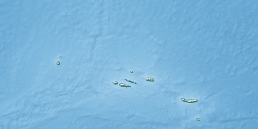
Marker is showing location of Rua da Igreja on map(s). You can click on marker if you want to hide it.
 T: 0.03862 s.
2026 © Location.zone | Terms of use | Contact
 57°
57° 68°
68° 208°
208°