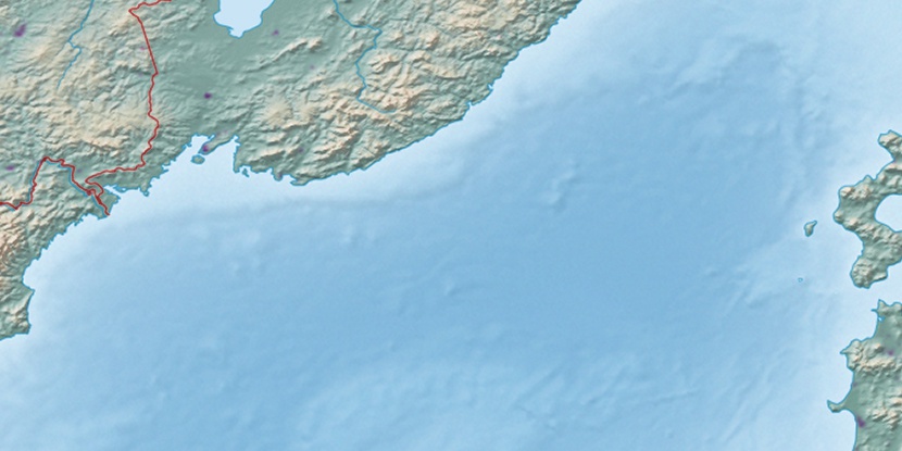
Bukhta Pod”yapol’skogo, (bay) is located in Primorskiy, in Russia (Asia). It is placed in GMT+10 time zone with current time of 08:14 PM, Thursday. Offset from your time zone: minutes.
| Latitude | 

|
|
| decimal | 42.98724 | |
| DMS | 42° 59' 14.064" N | |
| Distances from | ||
| North pole | 5227.3 km | |
| Equator | 4779.7 km | |
| South pole | 14786.8 km | |
| Longitude | 
|
|
| decimal | 132.30412 | |
| DMS | 132° 18' 14.832" E | |
| Distance from prime meridian: 9338.6 km to East |
||
List of nearest places sort by population
Bol’shoy Kamen’ 14.5 km 16°
16° 99°
99° 113°
113° 168°20°
 6°
6° 276°
276° 333°24°
 146°
146°

Marker is showing location of Bukhta Pod”yapol’skogo on map(s). You can click on marker if you want to hide it.
 T: 0.02363 s.
2026 © Location.zone | Terms of use | Contact
 285°
285° 273°
273° 141°
141° 117°
117°