Kulunda, (populated place) is located in Altai Krai, in Russia (Asia). It is placed in GMT+7 time zone with current time of 10:06 PM, Sunday. Offset from your time zone: minutes.
| Latitude | 

|
|
| decimal | 52.566 | |
| DMS | 52° 33' 57.6" N | |
| Distances from | ||
| North pole | 4162.3 km | |
| Equator | 5844.8 km | |
| South pole | 15851.9 km | |
| Longitude | 
|
|
| decimal | 78.9385 | |
| DMS | 78° 56' 18.6" E | |
| Distance from prime meridian: 5054.6 km to East |
||
List of nearest places sort by population
Slavgorod 51.9 km 337°
337° 329°
329° 64°
64° 155°336°338°
 2°
2° 359°
359° 154°
154° 349°
349°

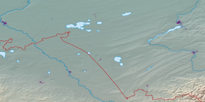
Marker is showing location of Kulunda on map(s). You can click on marker if you want to hide it.
 T: 0.02425 s.
2026 © Location.zone | Terms of use | Contact
 277°
277° 285°
285° 43°
43° 272°
272° 306°
306° 258°
258° 111°
111° 143°
143° 236°
236°