Karakul’ka, (populated place) is located in Bashkortostan, in Russia (Asia). It is placed in GMT+5 time zone with current time of 02:17 PM, Saturday. Offset from your time zone: minutes.
| Latitude | 

|
|
| decimal | 54.8124 | |
| DMS | 54° 48' 44.64" N | |
| Distances from | ||
| North pole | 3912.5 km | |
| Equator | 6094.6 km | |
| South pole | 16101.6 km | |
| Longitude | 
|
|
| decimal | 53.8841 | |
| DMS | 53° 53' 2.76" E | |
| Distance from prime meridian: 3365.7 km to East |
||
List of nearest places sort by population
Oktyabr’skiy 45.4 km 215°
215° 206°
206° 151°
151° 228°
228° 187°
187° 120°
120° 352°189°
 86°193°

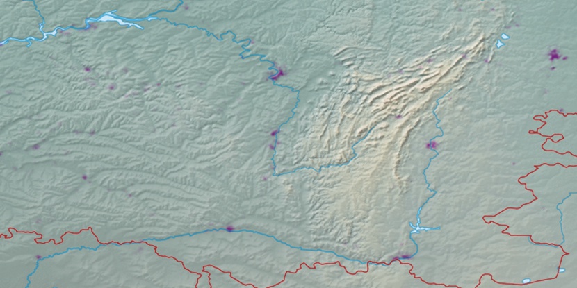
Marker is showing location of Karakul’ka on map(s). You can click on marker if you want to hide it.
 T: 0.03217 s.
2026 © Location.zone | Terms of use | Contact
 275°
275° 292°
292° 61°
61° 264°
264° 107°
107° 136°
136°