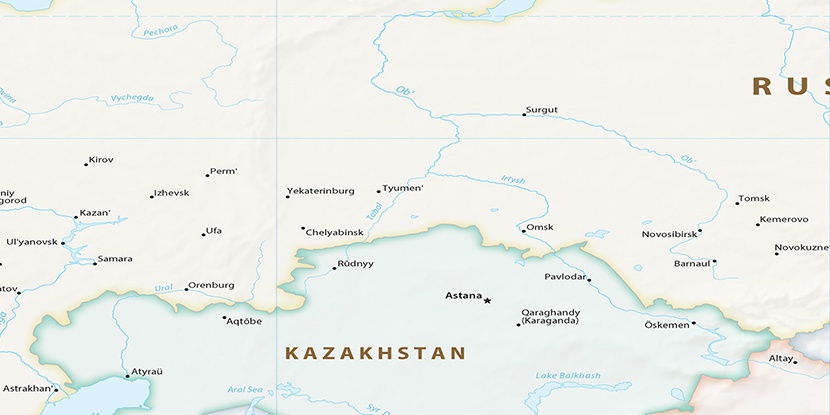
Kommunisticheskiy, (populated place) is located in Khanty-Mansiyskiy Avtonomnyy Okrug, in Russia (Asia). It is placed in GMT+5 time zone with current time of 05:07 PM, Saturday. Offset from your time zone: minutes.
| Latitude | 

|
|
| decimal | 61.67889 | |
| DMS | 61° 40' 44.004" N | |
| Distances from | ||
| North pole | 3149 km | |
| Equator | 6858 km | |
| South pole | 16865.1 km | |
| Longitude | 
|
|
| decimal | 64.48194 | |
| DMS | 64° 28' 54.984" E | |
| Distance from prime meridian: 3260.2 km to East |
||
List of nearest places sort by population
Nyagan 70.1 km 42°
42° 236°
236° 233°
233° 31°237°
 289°238°225°38°
 23°
23°

Marker is showing location of Kommunisticheskiy on map(s). You can click on marker if you want to hide it.
 T: 0.02162 s.
2026 © Location.zone | Terms of use | Contact
 246°
246° 264°
264° 124°
124° 202°
202° 222°
222° 145°
145° 193°
193° 142°
142°