Ust’-Kara, (populated place) is located in Nenetskiy Avtonomnyy Okrug, in Russia (Asia). It is placed in GMT+5 time zone with current time of 11:01 PM, Wednesday. Offset from your time zone: minutes.
| Latitude | 

|
|
| decimal | 69.24361 | |
| DMS | 69° 14' 36.996" N | |
| Distances from | ||
| North pole | 2307.9 km | |
| Equator | 7699.2 km | |
| South pole | 17706.2 km | |
| Longitude | 
|
|
| decimal | 64.92272 | |
| DMS | 64° 55' 21.792" E | |
| Distance from prime meridian: 2438.5 km to East |
||
List of nearest places sort by population
Vorkuta 197.2 km 190°
190° 166°167°194°172°194°
 158°186°190°192°

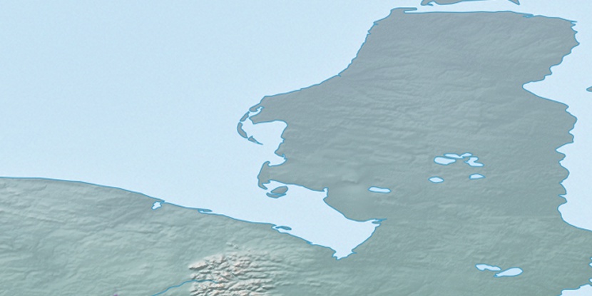
Marker is showing location of Ust’-Kara on map(s). You can click on marker if you want to hide it.
 T: 0.02602 s.
2026 © Location.zone | Terms of use | Contact
 222°
222° 237°
237° 149°
149° 203°
203° 207°
207° 128°
128° 225°
225°