Chiganda, (populated place) is located in Perm, in Russia (Asia). It is placed in GMT+5 time zone with current time of 11:49 PM, Saturday. Offset from your time zone: minutes.
| Latitude | 

|
|
| decimal | 56.5873 | |
| DMS | 56° 35' 14.28" N | |
| Distances from | ||
| North pole | 3715.1 km | |
| Equator | 6291.9 km | |
| South pole | 16299 km | |
| Longitude | 
|
|
| decimal | 54.7241 | |
| DMS | 54° 43' 26.76" E | |
| Distance from prime meridian: 3260.2 km to East |
||
List of nearest places sort by population
Neftekamsk 61.9 km 207°
207° 257°
257° 298°
298° 159°
159° 221°
221° 108°
108° 12°208°297°
 231°
231°

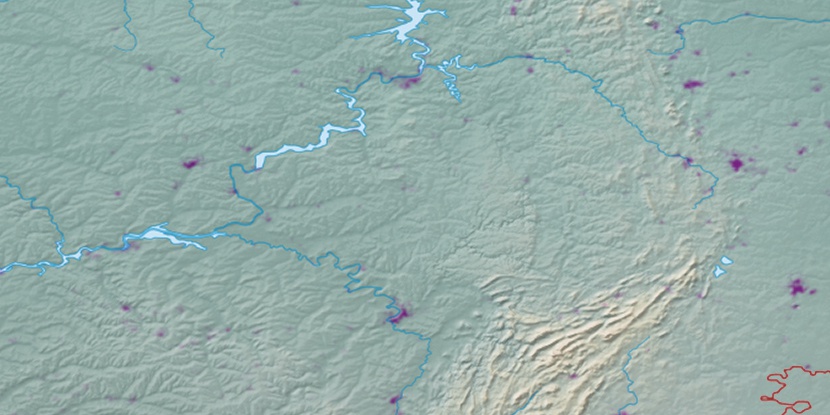
Marker is showing location of Chiganda on map(s). You can click on marker if you want to hide it.
 T: 0.03147 s.
2026 © Location.zone | Terms of use | Contact
 284°
284° 95°
95° 85°
85° 267°
267° 137°
137°