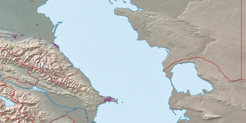
Maka, (abandoned populated place) is located in Dagestan, in Russia (Europe). It is placed in GMT+3 time zone with current time of 08:07 AM, Sunday. Offset from your time zone: minutes.
| Latitude | 

|
|
| decimal | 41.46149 | |
| DMS | 41° 27' 41.364" N | |
| Distances from | ||
| North pole | 5397 km | |
| Equator | 4610.1 km | |
| South pole | 14617.1 km | |
| Longitude | 
|
|
| decimal | 48.0353 | |
| DMS | 48° 2' 7.08" E | |
| Distance from prime meridian: 3949.3 km to East |
||
List of nearest places sort by population
Akhty 25.3 km 269°
269° 21°
21° 220°
220° 56°
56° 255°262°
 303°274°
 13°
13° 246°
246°

Marker is showing location of Maka on map(s). You can click on marker if you want to hide it.
 T: 0.03944 s.
2026 © Location.zone | Terms of use | Contact
 334°
334° 27°
27° 349°
349° 51°
51° 2°
2° 314°
314° 286°
286° 94°
94° 128°
128° 235°
235°