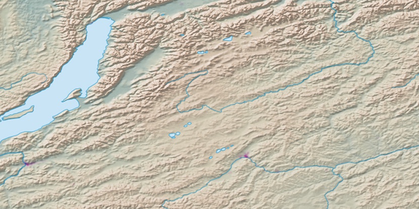
Pad’ Tumkholtuy, (ravine(s)) is located in Respublika Buryatiya, in Russia (Asia). It is placed in GMT+8 time zone with current time of 08:22 AM, Thursday. Offset from your time zone: minutes.
| Latitude | 

|
|
| decimal | 52.4926 | |
| DMS | 52° 29' 33.36" N | |
| Distances from | ||
| North pole | 4170.4 km | |
| Equator | 5836.6 km | |
| South pole | 15843.7 km | |
| Longitude | 
|
|
| decimal | 111.7092 | |
| DMS | 111° 42' 33.12" E | |
| Distance from prime meridian: 6728.9 km to East |
||
List of nearest places sort by population
Chita 132.3 km 112°
112° 115°
115° 254°123°
 239°
239° 157°
157° 287°
287° 168°
168° 138°108°

Marker is showing location of Pad’ Tumkholtuy on map(s). You can click on marker if you want to hide it.
 T: 0.02768 s.
2025 © Location.zone | Terms of use | Contact
 274°
274° 279°
279° 263°
263° 130°
130°