Araguaçu, (second-order administrative division) is located in Tocantins, in Brazil (America). It is placed in GMT-3 time zone with current time of 11:33 AM, Thursday. Offset from your time zone: minutes.
| Latitude | 

|
|
| decimal | -12.72579 | |
| DMS | 12° 43' 32.844" S | |
| Distances from | ||
| North pole | 11422 km | |
| Equator | 1415 km | |
| South pole | 8592.1 km | |
| Longitude | 
|
|
| decimal | -49.74942 | |
| DMS | 49° 44' 57.912" W | |
| Distance from prime meridian: 5386.9 km to West |
||
List of nearest places sort by population
Gurupi 133.2 km 33°
33° 140°
140° 161°144°
 216°
216° 175°
175° 186°
186° 201°
201° 68°160°

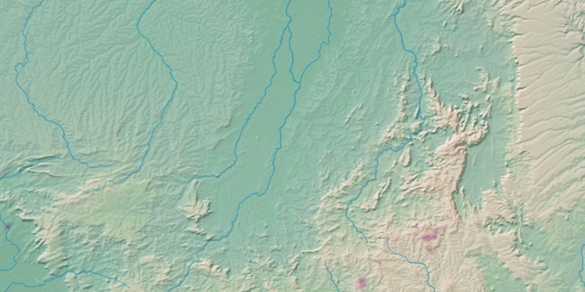
Marker is showing location of Araguaçu on map(s). You can click on marker if you want to hide it.
 T: 0.02352 s.
2026 © Location.zone | Terms of use | Contact
 148°
148° 91°
91° 50°
50° 313°
313° 6°
6° 40°
40° 261°
261° 286°
286°