Araguanã, (second-order administrative division) is located in Tocantins, in Brazil (America). It is placed in GMT-3 time zone with current time of 10:03 PM, Thursday. Offset from your time zone: minutes.
| Latitude | 

|
|
| decimal | -6.76634 | |
| DMS | 6° 45' 58.824" S | |
| Distances from | ||
| North pole | 10759.4 km | |
| Equator | 752.3 km | |
| South pole | 9254.7 km | |
| Longitude | 
|
|
| decimal | -48.52702 | |
| DMS | 48° 31' 37.272" W | |
| Distance from prime meridian: 5355.7 km to West |
||
List of nearest places sort by population
Imperatriz 179.2 km 39°
39° 336°
336° 143°
143° 206°
206° 123°
123° 334°118°
 69°
69° 355°
355° 57°
57°

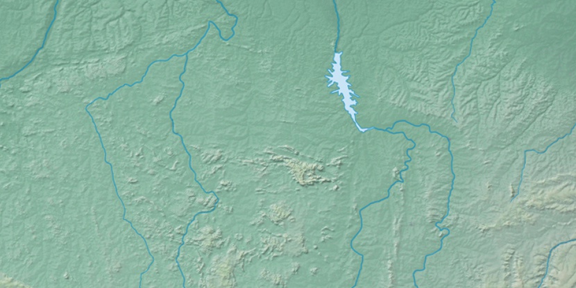
Marker is showing location of Araguanã on map(s). You can click on marker if you want to hide it.
 T: 0.02349 s.
2026 © Location.zone | Terms of use | Contact
 173°
173° 162°
162° 176°
176° 287°
287° 95°
95° 0°
0° 217°
217° 49°
49° 259°
259° 284°
284°