Caravelas, (second-order administrative division) is located in Bahia, in Brazil (America). It is placed in GMT-3 time zone with current time of 06:34 PM, Thursday. Offset from your time zone: minutes.
| Latitude | 

|
|
| decimal | -17.65842 | |
| DMS | 17° 39' 30.312" S | |
| Distances from | ||
| North pole | 11970.5 km | |
| Equator | 1963.4 km | |
| South pole | 8043.6 km | |
| Longitude | 
|
|
| decimal | -39.35989 | |
| DMS | 39° 21' 35.604" W | |
| Distance from prime meridian: 4162.3 km to West |
||
List of nearest places sort by population
Nova Viçosa 26 km 182°
182° 345°
345° 259°
259° 203°200°
 22°
22° 289°
289° 297°
297° 243°
243° 339°
339°

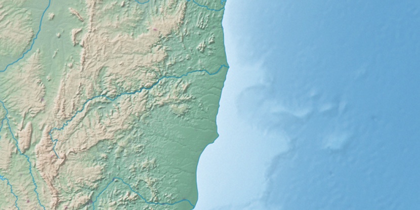
Marker is showing location of Caravelas on map(s). You can click on marker if you want to hide it.
 T: 0.0236 s.
2026 © Location.zone | Terms of use | Contact
 229°
229° 214°
214° 9°
9° 3°
3° 282°
282° 305°
305° 330°
330° 26°
26° 42°
42° 72°
72°