Carmolândia, (second-order administrative division) is located in Tocantins, in Brazil (America). It is placed in GMT-3 time zone with current time of 11:33 AM, Thursday. Offset from your time zone: minutes.
| Latitude | 

|
|
| decimal | -7.03001 | |
| DMS | 7° 1' 48.036" S | |
| Distances from | ||
| North pole | 10788.7 km | |
| Equator | 781.7 km | |
| South pole | 9225.4 km | |
| Longitude | 
|
|
| decimal | -48.35627 | |
| DMS | 48° 21' 22.572" W | |
| Distance from prime meridian: 5333.7 km to West |
||
List of nearest places sort by population
Imperatriz 192.6 km 29°
29° 334°
334° 137°
137° 216°
216° 118°
118° 109°
109° 53°
53° 342°
342° 100°46°

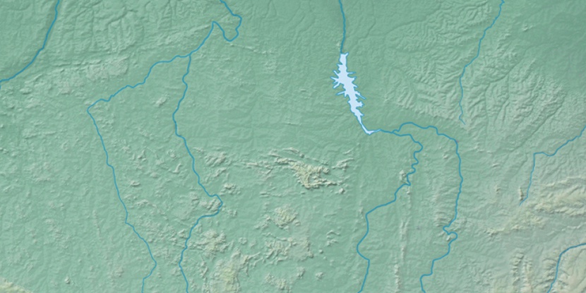
Marker is showing location of Carmolândia on map(s). You can click on marker if you want to hide it.
 T: 0.02292 s.
2026 © Location.zone | Terms of use | Contact
 174°
174° 162°
162° 71°
71° 177°
177° 288°
288° 94°
94° 358°
358° 35°
35° 259°
259° 284°
284°