Carutapera, (second-order administrative division) is located in Maranhão, in Brazil (America). It is placed in GMT-3 time zone with current time of 10:39 AM, Thursday. Offset from your time zone: minutes.
| Latitude | 

|
|
| decimal | -1.18025 | |
| DMS | 1° 10' 48.9" S | |
| Distances from | ||
| North pole | 10138.3 km | |
| Equator | 131.2 km | |
| South pole | 9875.8 km | |
| Longitude | 
|
|
| decimal | -45.95966 | |
| DMS | 45° 57' 34.776" W | |
| Distance from prime meridian: 5109.1 km to West |
||
List of nearest places sort by population
Bragança 90.7 km 278°
278° 269°
269° 242°
242° 264°283°
 147°
147° 179°
179° 129°
129° 137°
137° 252°
252°

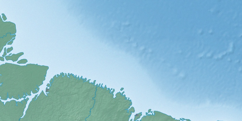
Marker is showing location of Carutapera on map(s). You can click on marker if you want to hide it.
 T: 0.02299 s.
2026 © Location.zone | Terms of use | Contact
 172°
172° 108°
108° 187°
187° 121°
121° 215°
215° 36°
36° 50°
50°