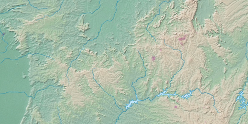
Indiara, (second-order administrative division) is located in Goiás, in Brazil (America). It is placed in GMT-3 time zone with current time of 09:40 AM, Thursday. Offset from your time zone: minutes.
| Latitude | 

|
|
| decimal | -17.18504 | |
| DMS | 17° 11' 6.144" S | |
| Distances from | ||
| North pole | 11917.9 km | |
| Equator | 1910.8 km | |
| South pole | 8096.3 km | |
| Longitude | 
|
|
| decimal | -49.96826 | |
| DMS | 49° 58' 5.736" W | |
| Distance from prime meridian: 5292.1 km to West |
||
List of nearest places sort by population
Trindade 78.4 km 40°
40° 329°
329° 0°
0° 124°
124° 6°
6° 49°
49° 167°
167° 297°331°
 72°
72°

Marker is showing location of Indiara on map(s). You can click on marker if you want to hide it.
 T: 0.02394 s.
2026 © Location.zone | Terms of use | Contact
 153°
153° 132°
132° 175°
175° 324°
324° 58°
58° 228°
228° 32°
32° 263°
263° 288°
288°