Itapetininga, (second-order administrative division) is located in São Paulo, in Brazil (America). It is placed in GMT-3 time zone with current time of 06:32 AM, Thursday. Offset from your time zone: minutes.
| Latitude | 

|
|
| decimal | -23.64607 | |
| DMS | 23° 38' 45.852" S | |
| Distances from | ||
| North pole | 12636.3 km | |
| Equator | 2629.2 km | |
| South pole | 7377.9 km | |
| Longitude | 
|
|
| decimal | -48.12574 | |
| DMS | 48° 7' 32.664" W | |
| Distance from prime meridian: 4877.2 km to West |
||
List of nearest places sort by population
Tatuí 42.4 km 40°
40° 48°
48° 209°
209° 90°
90° 114°53°
 250°
250° 73°
73° 300°
300° 63°
63°

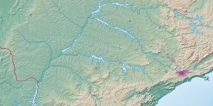
Marker is showing location of Itapetininga on map(s). You can click on marker if you want to hide it.
 T: 0.02372 s.
2026 © Location.zone | Terms of use | Contact
 80°
80° 24°
24° 1°
1° 330°
330° 359°
359° 243°
243° 29°
29° 265°
265° 289°
289°