Ponta Porã, (second-order administrative division) is located in Mato Grosso do Sul, in Brazil (America). It is placed in GMT-4 time zone with current time of 09:45 AM, Thursday. Offset from your time zone: minutes.
| Latitude | 

|
|
| decimal | -22.01602 | |
| DMS | 22° 0' 57.672" S | |
| Distances from | ||
| North pole | 12455 km | |
| Equator | 2448 km | |
| South pole | 7559.1 km | |
| Longitude | 
|
|
| decimal | -55.72685 | |
| DMS | 55° 43' 36.66" W | |
| Distance from prime meridian: 5709.9 km to West |
||
List of nearest places sort by population
Dourados 97.6 km 103°
103° 324°
324° 52°
52° 78°
78° 357°
357° 262°
262° 33°321°
 126°
126° 327°
327°

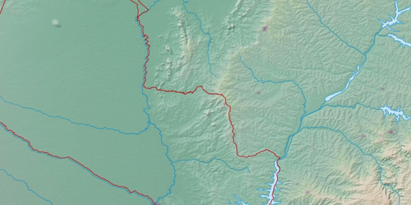
Marker is showing location of Ponta Porã on map(s). You can click on marker if you want to hide it.
 T: 0.0227 s.
2026 © Location.zone | Terms of use | Contact
 94°
94° 61°
61° 42°
42° 120°
120° 347°
347° 18°
18° 229°
229° 290°
290°