Rio Vermelho, (second-order administrative division) is located in Minas Gerais, in Brazil (America). It is placed in GMT-3 time zone with current time of 10:29 AM, Thursday. Offset from your time zone: minutes.
| Latitude | 

|
|
| decimal | -18.26867 | |
| DMS | 18° 16' 7.212" S | |
| Distances from | ||
| North pole | 12038.3 km | |
| Equator | 2031.3 km | |
| South pole | 7975.8 km | |
| Longitude | 
|
|
| decimal | -43.07424 | |
| DMS | 43° 4' 27.264" W | |
| Distance from prime meridian: 4536.9 km to West |
||
List of nearest places sort by population
Diamantina 55.9 km 272°
272° 165°
165° 42°
42° 26°
26° 220°
220° 203°
203° 133°
133° 82°
82° 181°
181° 119°
119°

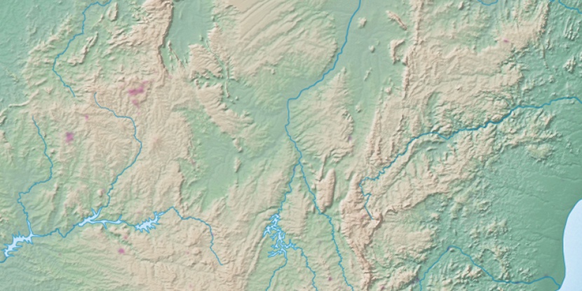
Marker is showing location of Rio Vermelho on map(s). You can click on marker if you want to hide it.
 T: 0.02322 s.
2026 © Location.zone | Terms of use | Contact
 212°
212° 16°
16° 298°
298° 312°
312° 342°
342° 238°
238° 263°
263° 287°
287°