Santa Fé do Araguaia, (second-order administrative division) is located in Tocantins, in Brazil (America). It is placed in GMT-3 time zone with current time of 12:48 PM, Thursday. Offset from your time zone: minutes.
| Latitude | 

|
|
| decimal | -7.10746 | |
| DMS | 7° 6' 26.856" S | |
| Distances from | ||
| North pole | 10797.3 km | |
| Equator | 790.3 km | |
| South pole | 9216.8 km | |
| Longitude | 
|
|
| decimal | -48.9558 | |
| DMS | 48° 57' 20.88" W | |
| Distance from prime meridian: 5398.8 km to West |
||
List of nearest places sort by population
Imperatriz 238.9 km 42°
42° 354°
354° 96°
96° 195°
195° 107°349°98°
 63°
63° 29°55°

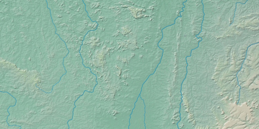
Marker is showing location of Santa Fé do Araguaia on map(s). You can click on marker if you want to hide it.
 T: 0.02306 s.
2026 © Location.zone | Terms of use | Contact
 172°
172° 160°
160° 119°
119° 71°
71° 180°
180° 289°
289° 93°
93° 4°
4° 217°
217° 49°
49° 259°
259° 284°
284°