Santa Luzia d'Oeste, (second-order administrative division) is located in Rondônia, in Brazil (America). It is placed in GMT-4 time zone with current time of 09:49 AM, Thursday. Offset from your time zone: minutes.
| Latitude | 

|
|
| decimal | -12.10467 | |
| DMS | 12° 6' 16.812" S | |
| Distances from | ||
| North pole | 11353 km | |
| Equator | 1345.9 km | |
| South pole | 8661.1 km | |
| Longitude | 
|
|
| decimal | -61.7944 | |
| DMS | 61° 47' 39.84" W | |
| Distance from prime meridian: 6702 km to West |
||
List of nearest places sort by population
Ji Paraná 136.7 km 352°
352° 111°
111° 330°
330° 27°
27° 205°
205° 338°
338° 21°343°
 53°353°

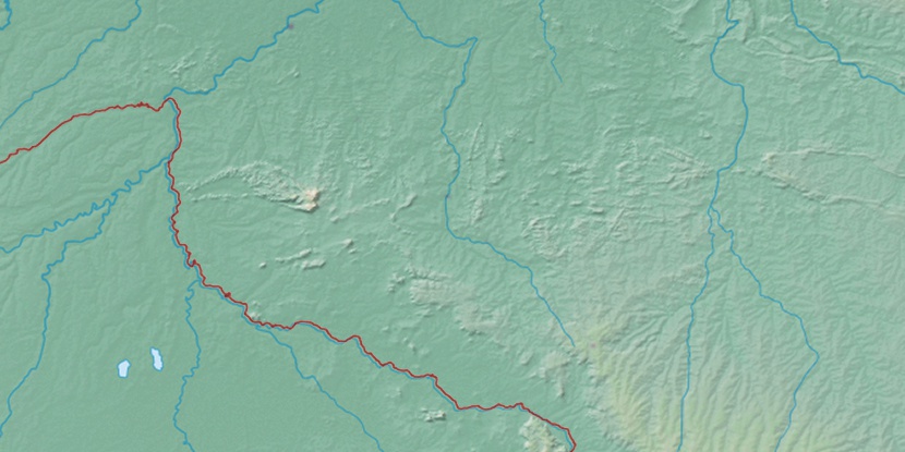
Marker is showing location of Santa Luzia d'Oeste on map(s). You can click on marker if you want to hide it.
 T: 0.02292 s.
2026 © Location.zone | Terms of use | Contact
 128°
128° 121°
121° 92°
92° 69°
69° 138°
138° 11°
11° 81°
81° 200°
200° 40°
40° 260°
260° 287°
287°