Santa Luzia, (second-order administrative division) is located in Maranhão, in Brazil (America). It is placed in GMT-3 time zone with current time of 10:40 AM, Thursday. Offset from your time zone: minutes.
| Latitude | 

|
|
| decimal | -4.25352 | |
| DMS | 4° 15' 12.672" S | |
| Distances from | ||
| North pole | 10480 km | |
| Equator | 472.9 km | |
| South pole | 9534.1 km | |
| Longitude | 
|
|
| decimal | -45.73817 | |
| DMS | 45° 44' 17.412" W | |
| Distance from prime meridian: 5070.8 km to West |
||
List of nearest places sort by population
Bacabal 105 km 92°
92° 31°93°31°30°
 54°
54° 67°
67° 115°32°86°

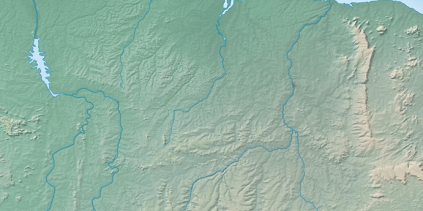
Marker is showing location of Santa Luzia on map(s). You can click on marker if you want to hide it.
 T: 0.02298 s.
2026 © Location.zone | Terms of use | Contact
 182°
182° 172°
172° 140°
140° 190°
190° 274°
274° 109°
109° 315°
315° 218°
218° 35°
35° 258°
258° 283°
283°