Santo Antônio do Tauá, (second-order administrative division) is located in Pará, in Brazil (America). It is placed in GMT-3 time zone with current time of 07:41 PM, Thursday. Offset from your time zone: minutes.
| Latitude | 

|
|
| decimal | -1.10308 | |
| DMS | 1° 6' 11.088" S | |
| Distances from | ||
| North pole | 10129.7 km | |
| Equator | 122.7 km | |
| South pole | 9884.4 km | |
| Longitude | 
|
|
| decimal | -48.19472 | |
| DMS | 48° 11' 40.992" W | |
| Distance from prime meridian: 5357.7 km to West |
||
List of nearest places sort by population
Belém 52.2 km 221°
221° 214°
214° 125°
125° 190°
190° 12°
12° 92°
92° 319°
319° 42°
42° 26°
26° 159°
159°

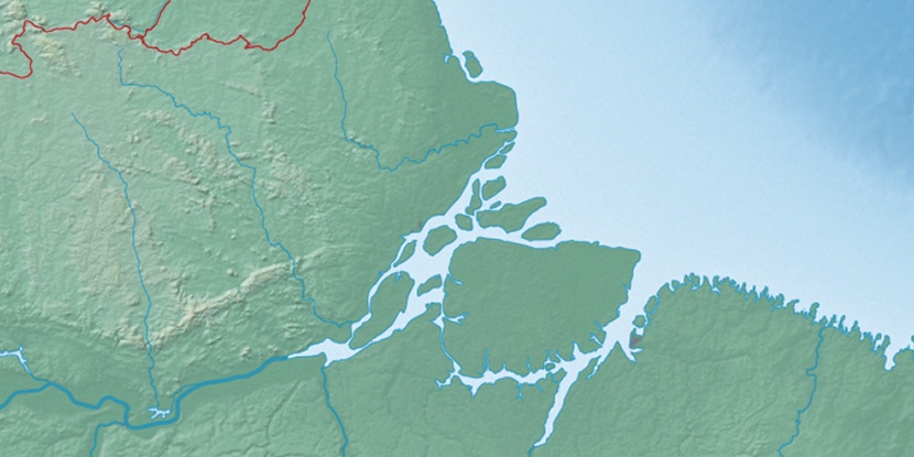
Marker is showing location of Santo Antônio do Tauá on map(s). You can click on marker if you want to hide it.
 T: 0.02296 s.
2026 © Location.zone | Terms of use | Contact
 176°
176° 167°
167° 141°
141° 105°
105° 260°
260° 117°
117° 51°
51° 282°
282°