Santo Antônio dos Lopes, (second-order administrative division) is located in Maranhão, in Brazil (America). It is placed in GMT-3 time zone with current time of 01:37 PM, Thursday. Offset from your time zone: minutes.
| Latitude | 

|
|
| decimal | -4.82567 | |
| DMS | 4° 49' 32.412" S | |
| Distances from | ||
| North pole | 10543.6 km | |
| Equator | 536.6 km | |
| South pole | 9470.5 km | |
| Longitude | 
|
|
| decimal | -44.47506 | |
| DMS | 44° 28' 30.216" W | |
| Distance from prime meridian: 4926.7 km to West |
||
List of nearest places sort by population
Codó 77.2 km 57°
57° 329°
329° 26°
26° 181°
181° 173°
173° 43°
43° 201°170°
 259°
259° 293°
293°

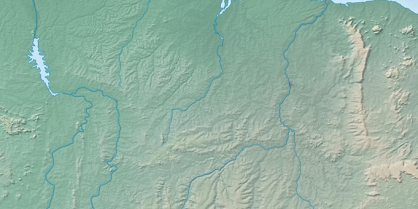
Marker is showing location of Santo Antônio dos Lopes on map(s). You can click on marker if you want to hide it.
 T: 0.02404 s.
2026 © Location.zone | Terms of use | Contact
 186°
186° 144°
144° 79°
79° 276°
276° 108°
108° 309°
309° 220°
220° 48°
48°