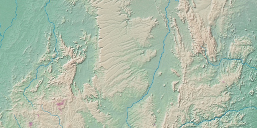
Serra Dourada, (second-order administrative division) is located in Bahia, in Brazil (America). It is placed in GMT-3 time zone with current time of 11:33 AM, Thursday. Offset from your time zone: minutes.
| Latitude | 

|
|
| decimal | -12.91499 | |
| DMS | 12° 54' 53.964" S | |
| Distances from | ||
| North pole | 11443.1 km | |
| Equator | 1436 km | |
| South pole | 8571 km | |
| Longitude | 
|
|
| decimal | -43.796 | |
| DMS | 43° 47' 45.6" W | |
| Distance from prime meridian: 4740.4 km to West |
||
List of nearest places sort by population
Bom Jesus da Lapa 55.7 km 132°
132° 219°
219° 37°
37° 95°
95° 242°129°
 69°
69° 84°
84° 55°56°

Marker is showing location of Serra Dourada on map(s). You can click on marker if you want to hide it.
 T: 0.02265 s.
2026 © Location.zone | Terms of use | Contact
 194°
194° 176°
176° 90°
90° 29°
29° 234°
234° 202°
202° 301°
301° 337°
337° 45°
45° 262°
262° 286°
286°