Tabaporã, (second-order administrative division) is located in Mato Grosso, in Brazil (America). It is placed in GMT-4 time zone with current time of 11:12 AM, Thursday. Offset from your time zone: minutes.
| Latitude | 

|
|
| decimal | -11.05295 | |
| DMS | 11° 3' 10.62" S | |
| Distances from | ||
| North pole | 11236 km | |
| Equator | 1229 km | |
| South pole | 8778.1 km | |
| Longitude | 
|
|
| decimal | -56.64189 | |
| DMS | 56° 38' 30.804" W | |
| Distance from prime meridian: 6171 km to West |
||
List of nearest places sort by population
Sinop 153.5 km 125°
125° 243°
243° 187°
187° 295°189°
 176°175°176°182°183°

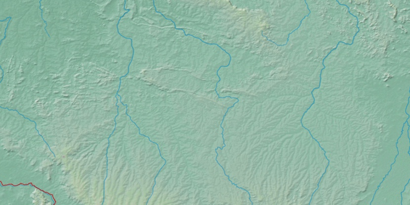
Marker is showing location of Tabaporã on map(s). You can click on marker if you want to hide it.
 T: 0.0225 s.
2026 © Location.zone | Terms of use | Contact
 142°
142° 96°
96° 67°
67° 119°
119° 154°
154° 337°
337° 82°
82° 40°
40° 209°
209° 50°
50° 260°
260° 286°
286°