Tapira, (second-order administrative division) is located in Paraná, in Brazil (America). It is placed in GMT-3 time zone with current time of 02:16 PM, Thursday. Offset from your time zone: minutes.
| Latitude | 

|
|
| decimal | -23.30639 | |
| DMS | 23° 18' 23.004" S | |
| Distances from | ||
| North pole | 12598.5 km | |
| Equator | 2591.4 km | |
| South pole | 7415.6 km | |
| Longitude | 
|
|
| decimal | -53.13632 | |
| DMS | 53° 8' 10.752" W | |
| Distance from prime meridian: 5393.4 km to West |
||
List of nearest places sort by population
Umuarama 54.6 km 200°
200° 69°
69° 126°
126° 359°
359° 173°
173° 304°
304° 14°
14° 150°
150° 38°
38° 49°
49°

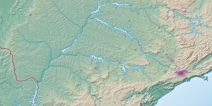
Marker is showing location of Tapira on map(s). You can click on marker if you want to hide it.
 T: 0.02287 s.
2026 © Location.zone | Terms of use | Contact
 92°
92° 33°
33° 121°
121° 341°
341° 236°
236° 265°
265° 290°
290°