Uiramutã, (second-order administrative division) is located in Roraima, in Brazil (America). It is placed in GMT-4 time zone with current time of 10:24 AM, Thursday. Offset from your time zone: minutes.
| Latitude | 

|
|
| decimal | 4.65265 | |
| DMS | 4° 39' 9.54" N | |
| Distances from | ||
| North pole | 9489.7 km | |
| Equator | 517.3 km | |
| South pole | 10524.4 km | |
| Longitude | 
|
|
| decimal | -60.25188 | |
| DMS | 60° 15' 6.768" W | |
| Distance from prime meridian: 6675 km to West |
||
List of nearest places sort by population
Manaus 862.6 km 178°
178° 192°
192° 145°175°150°
 160°152°
 205°176°
 223°
223°

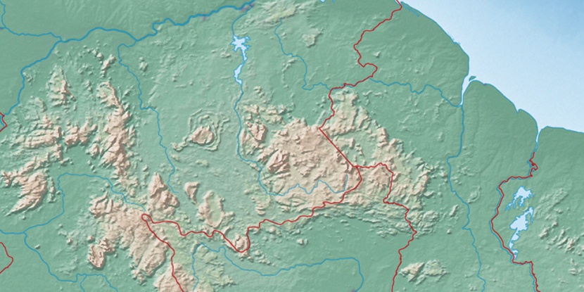
Marker is showing location of Uiramutã on map(s). You can click on marker if you want to hide it.
 T: 0.02258 s.
2026 © Location.zone | Terms of use | Contact
 129°
129° 111°
111° 116°
116° 47°
47° 57°
57° 281°
281° 254°
254°