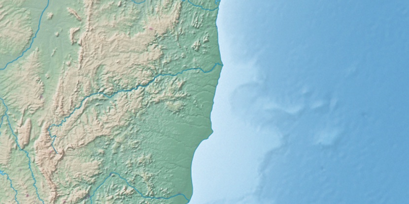
Umburatiba, (second-order administrative division) is located in Minas Gerais, in Brazil (America). It is placed in GMT-3 time zone with current time of 01:35 PM, Thursday. Offset from your time zone: minutes.
| Latitude | 

|
|
| decimal | -17.25657 | |
| DMS | 17° 15' 23.652" S | |
| Distances from | ||
| North pole | 11925.8 km | |
| Equator | 1918.8 km | |
| South pole | 8088.3 km | |
| Longitude | 
|
|
| decimal | -40.66878 | |
| DMS | 40° 40' 7.608" W | |
| Distance from prime meridian: 4310 km to West |
||
List of nearest places sort by population
Nanuque 72.9 km 152°
152° 338°
338° 105°
105° 74°
74° 191°
191° 161°
161° 304°
304° 283°
283° 170°
170° 330°
330°

Marker is showing location of Umburatiba on map(s). You can click on marker if you want to hide it.
 T: 0.02272 s.
2026 © Location.zone | Terms of use | Contact
 221°
221° 202°
202° 25°
25° 8°
8° 229°
229° 306°
306° 238°
238° 42°
42° 263°
263° 287°
287°