Alta Floresta Aeroporto, (airport) is located in Mato Grosso, in Brazil (America). It is placed in GMT-4 time zone with current time of 02:11 PM, Thursday. Offset from your time zone: minutes.
| Latitude | 

|
|
| decimal | -9.86609 | |
| DMS | 9° 51' 57.924" S | |
| Distances from | ||
| North pole | 11104.1 km | |
| Equator | 1097 km | |
| South pole | 8910.1 km | |
| Longitude | 
|
|
| decimal | -56.10621 | |
| DMS | 56° 6' 22.356" W | |
| Distance from prime meridian: 6138.2 km to West |
||
List of nearest places sort by population
Sinop 231.7 km 163°
163° 234°
234° 278°
278° 193°
193° 184°182°183°188°188°
 335°
335°

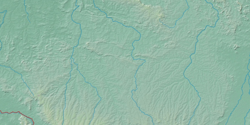
Marker is showing location of Alta Floresta Aeroporto on map(s). You can click on marker if you want to hide it.
 T: 0.0113 s.
2026 © Location.zone | Terms of use | Contact
 146°
146° 136°
136° 100°
100° 70°
70° 130°
130° 330°
330° 85°
85° 41°
41° 209°
209° 50°
50° 260°
260° 286°
286°