Araçatuba Airport, (airport) is located in São Paulo, in Brazil (America). It is placed in GMT-3 time zone with current time of 06:39 AM, Thursday. Offset from your time zone: minutes.
| Latitude | 

|
|
| decimal | -21.1413 | |
| DMS | 21° 8' 28.68" S | |
| Distances from | ||
| North pole | 12357.8 km | |
| Equator | 2350.7 km | |
| South pole | 7656.4 km | |
| Longitude | 
|
|
| decimal | -50.4247 | |
| DMS | 50° 25' 28.92" W | |
| Distance from prime meridian: 5205.8 km to West |
||
List of nearest places sort by population
Araçatuba 7.6 km 186°
186° 151°
151° 130°
130° 239°
239° 270°
270° 258°
258° 73°
73° 345°
345° 38°
38° 6°
6°

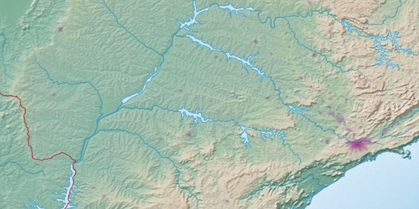
Marker is showing location of Araçatuba Airport on map(s). You can click on marker if you want to hide it.
 T: 0.00991 s.
2026 © Location.zone | Terms of use | Contact
 124°
124° 104°
104° 54°
54° 33°
33° 78°
78° 23°
23° 166°
166° 332°
332° 289°
289°