Itumbiara Airport, (airport) is located in Goiás, in Brazil (America). It is placed in GMT-3 time zone with current time of 06:39 AM, Thursday. Offset from your time zone: minutes.
| Latitude | 

|
|
| decimal | -18.44314 | |
| DMS | 18° 26' 35.304" S | |
| Distances from | ||
| North pole | 12057.7 km | |
| Equator | 2050.7 km | |
| South pole | 7956.4 km | |
| Longitude | 
|
|
| decimal | -49.2142 | |
| DMS | 49° 12' 51.12" W | |
| Distance from prime meridian: 5174 km to West |
||
List of nearest places sort by population
Ituiutaba 64.6 km 203°
203° 357°
357° 38°
38° 8°
8° 342°
342° 107°
107° 234°
234° 143°
143° 174°
174° 28°
28°

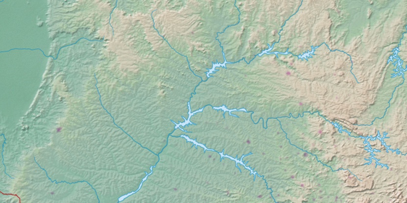
Marker is showing location of Itumbiara Airport on map(s). You can click on marker if you want to hide it.
 T: 0.01023 s.
2026 © Location.zone | Terms of use | Contact
 154°
154° 128°
128° 62°
62° 24°
24° 180°
180° 325°
325° 53°
53° 2°
2° 263°
263° 288°
288°