Lábrea Airport, (airport) is located in Amazonas, in Brazil (America). It is placed in GMT-4 time zone with current time of 05:41 PM, Thursday. Offset from your time zone: minutes.
| Latitude | 

|
|
| decimal | -7.27897 | |
| DMS | 7° 16' 44.292" S | |
| Distances from | ||
| North pole | 10816.4 km | |
| Equator | 809.3 km | |
| South pole | 9197.7 km | |
| Longitude | 
|
|
| decimal | -64.7695 | |
| DMS | 64° 46' 10.2" W | |
| Distance from prime meridian: 7136.7 km to West |
||
List of nearest places sort by population
Porto Velho 190.5 km 149°147°
 26°
26° 189°
189° 97°
97° 318°
318° 240°
240° 66°
66° 258°27°

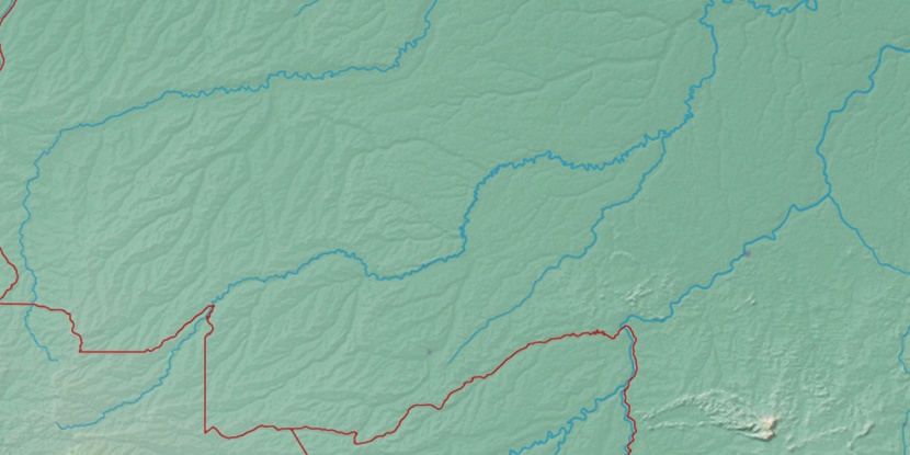
Marker is showing location of Lábrea Airport on map(s). You can click on marker if you want to hide it.
 T: 0.00998 s.
2026 © Location.zone | Terms of use | Contact
 133°
133° 82°
82° 122°
122° 140°
140° 48°
48° 91°
91° 43°
43° 286°
286°