Presidente Dutra, (airport) is located in Maranhão, in Brazil (America). It is placed in GMT-3 time zone with current time of 12:22 PM, Thursday. Offset from your time zone: minutes.
| Latitude | 

|
|
| decimal | -5.28333 | |
| DMS | 5° 16' 59.988" S | |
| Distances from | ||
| North pole | 10594.5 km | |
| Equator | 587.5 km | |
| South pole | 9419.6 km | |
| Longitude | 
|
|
| decimal | -44.5 | |
| DMS | 44° 30' 0" W | |
| Distance from prime meridian: 4925.8 km to West |
||
List of nearest places sort by population
Codó 114.5 km 36°
36° 253°
253° 161°158°
 129°
129° 279°
279° 13°
13° 333°330°
 142°
142°

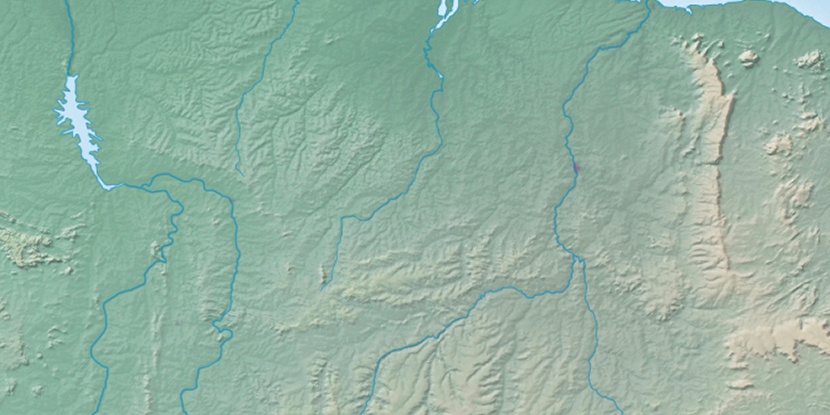
Marker is showing location of Presidente Dutra on map(s). You can click on marker if you want to hide it.
 T: 0.00998 s.
2026 © Location.zone | Terms of use | Contact
 186°
186° 175°
175° 75°
75° 197°
197° 106°
106° 313°
313° 220°
220° 34°
34° 48°
48° 259°
259°