Santa Teresita Airport, (airport) is located in Mato Grosso, in Brazil (America). It is placed in GMT-4 time zone with current time of 07:59 AM, Thursday. Offset from your time zone: minutes.
| Latitude | 

|
|
| decimal | -16.28828 | |
| DMS | 16° 17' 17.808" S | |
| Distances from | ||
| North pole | 11818.1 km | |
| Equator | 1811.1 km | |
| South pole | 8196 km | |
| Longitude | 
|
|
| decimal | -59.49479 | |
| DMS | 59° 29' 41.244" W | |
| Distance from prime meridian: 6324.8 km to West |
||
List of nearest places sort by population
Várzea Grande 366.4 km 78°
78° 147°
147° 61°
61° 8°
8° 89°
89° 54°146°63°54°54°

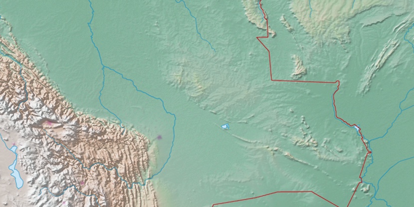
Marker is showing location of Santa Teresita Airport on map(s). You can click on marker if you want to hide it.
 T: 0.00968 s.
2026 © Location.zone | Terms of use | Contact
 121°
121° 113°
113° 103°
103° 133°
133° 357°
357° 71°
71° 36°
36° 210°
210° 262°
262° 288°
288°