Santa Vitória do Palmar Airport, (airport) is located in Rio Grande do Sul, in Brazil (America). It is placed in GMT-3 time zone with current time of 02:25 PM, Thursday. Offset from your time zone: minutes.
| Latitude | 

|
|
| decimal | -33.50222 | |
| DMS | 33° 30' 7.992" S | |
| Distances from | ||
| North pole | 13732.2 km | |
| Equator | 3725.1 km | |
| South pole | 6282 km | |
| Longitude | 
|
|
| decimal | -53.34417 | |
| DMS | 53° 20' 39.012" W | |
| Distance from prime meridian: 4888.2 km to West |
||
List of nearest places sort by population
Pelotas 214 km 25°
25° 35°
35° 343°
343° 358°
358° 230°
230° 14°358°9°359°
 206°
206°

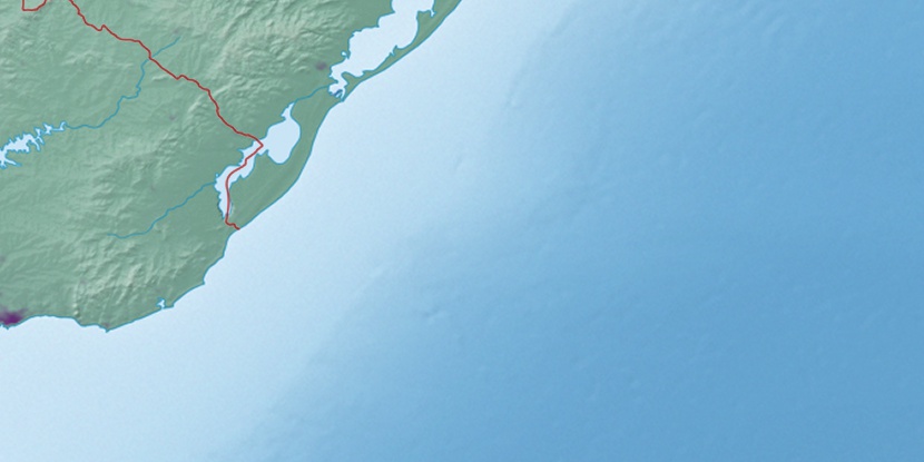
Marker is showing location of Santa Vitória do Palmar Airport on map(s). You can click on marker if you want to hide it.
 T: 0.00966 s.
2026 © Location.zone | Terms of use | Contact
 24°
24° 348°
348° 270°
270° 293°
293°