Santo Ângelo Airport, (airport) is located in Rio Grande do Sul, in Brazil (America). It is placed in GMT-3 time zone with current time of 06:39 AM, Thursday. Offset from your time zone: minutes.
| Latitude | 

|
|
| decimal | -28.28197 | |
| DMS | 28° 16' 55.092" S | |
| Distances from | ||
| North pole | 13151.7 km | |
| Equator | 3144.7 km | |
| South pole | 6862.4 km | |
| Longitude | 
|
|
| decimal | -54.17122 | |
| DMS | 54° 10' 16.392" W | |
| Distance from prime meridian: 5256.8 km to West |
||
List of nearest places sort by population
Ijuí 27.7 km 115°
115° 125°
125° 257°
257° 326°
326° 91°
91° 353°349°328°
 38°
38° 284°
284°

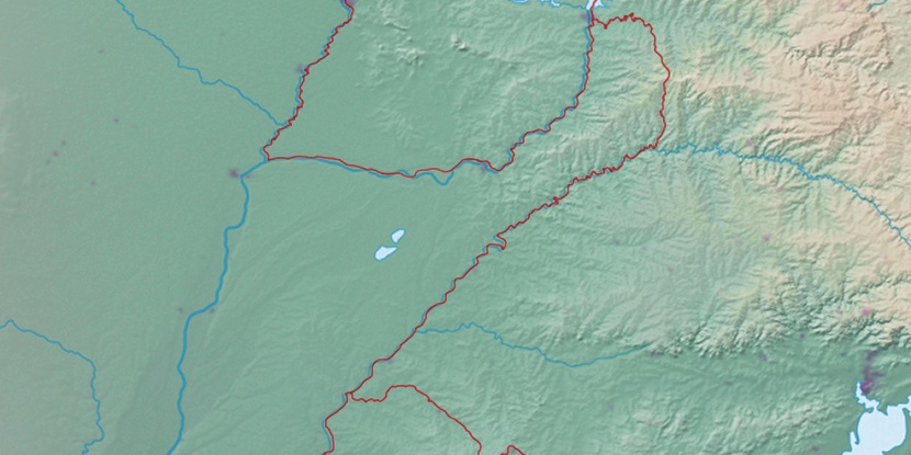
Marker is showing location of Santo Ângelo Airport on map(s). You can click on marker if you want to hide it.
 T: 0.00978 s.
2026 © Location.zone | Terms of use | Contact
 55°
55° 31°
31° 48°
48° 24°
24° 11°
11° 249°
249° 267°
267° 292°
292°