Tabatinga International Airport, (airport) is located in Amazonas, in Brazil (America). It is placed in GMT-4 time zone with current time of 08:53 PM, Saturday. Offset from your time zone: minutes.
| Latitude | 

|
|
| decimal | -4.25567 | |
| DMS | 4° 15' 20.412" S | |
| Distances from | ||
| North pole | 10480.2 km | |
| Equator | 473.2 km | |
| South pole | 9533.9 km | |
| Longitude | 
|
|
| decimal | -69.93583 | |
| DMS | 69° 56' 8.988" W | |
| Distance from prime meridian: 7751.6 km to West |
||
List of nearest places sort by population
Tabatinga 2.7 km 353°
353° 101°
101° 178°
178° 218°
218° 186°
186° 50°185°
 59°
59° 131°57°

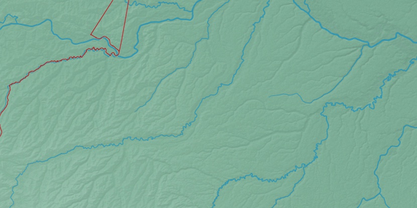
Marker is showing location of Tabatinga International Airport on map(s). You can click on marker if you want to hide it.
 T: 0.00981 s.
2026 © Location.zone | Terms of use | Contact
 105°
105° 89°
89° 121°
121° 136°
136° 83°
83° 257°
257° 285°
285°