Uberlândia–Ten. Cel. Av. César Bombonato Airport, (airport) is located in Minas Gerais, in Brazil (America). It is placed in GMT-3 time zone with current time of 06:37 PM, Monday. Offset from your time zone: minutes.
| Latitude | 

|
|
| decimal | -18.88284 | |
| DMS | 18° 52' 58.224" S | |
| Distances from | ||
| North pole | 12106.6 km | |
| Equator | 2099.6 km | |
| South pole | 7907.5 km | |
| Longitude | 
|
|
| decimal | -48.22559 | |
| DMS | 48° 13' 32.124" W | |
| Distance from prime meridian: 5056.9 km to West |
||
List of nearest places sort by population
Uberlândia 6.7 km 233°
233° 162°
162° 8°
8° 296°
296° 20°
20° 77°302°
 237°
237° 271°
271° 287°
287°

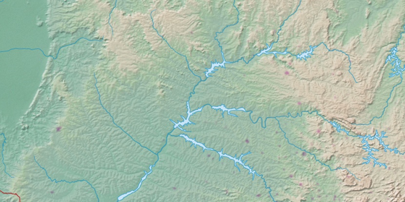
Marker is showing location of Uberlândia–Ten. Cel. Av. César Bombonato Airport on map(s). You can click on marker if you want to hide it.
 T: 0.01017 s.
2026 © Location.zone | Terms of use | Contact
 130°
130° 57°
57° 31°
31° 104°
104° 188°
188° 323°
323° 50°
50° 359°
359° 37°
37° 264°
264°