Alegrete Federal Airport, (abandoned airfield) is located in Rio Grande do Sul, in Brazil (America). It is placed in GMT-3 time zone with current time of 10:31 AM, Thursday. Offset from your time zone: minutes.
| Latitude | 

|
|
| decimal | -29.80013 | |
| DMS | 29° 48' 0.468" S | |
| Distances from | ||
| North pole | 13320.5 km | |
| Equator | 3313.5 km | |
| South pole | 6693.6 km | |
| Longitude | 
|
|
| decimal | -55.76334 | |
| DMS | 55° 45' 48.024" W | |
| Distance from prime meridian: 5324.1 km to West |
||
List of nearest places sort by population
Uruguaiana 128 km 272°
272° 169°
169° 304°
304° 349°
349° 52°
52° 121°
121° 314°
314° 225°
225° 65°
65° 95°
95°

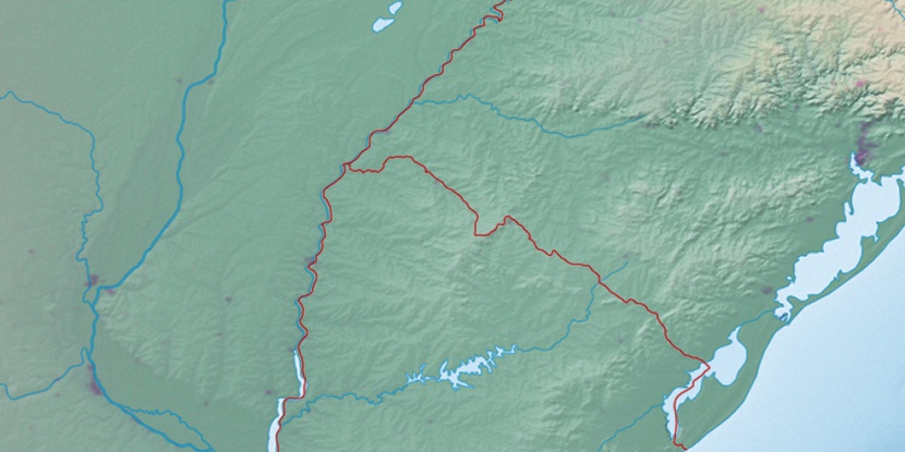
Marker is showing location of Alegrete Federal Airport on map(s). You can click on marker if you want to hide it.
 T: 0.00898 s.
2026 © Location.zone | Terms of use | Contact
 58°
58° 43°
43° 32°
32° 13°
13° 253°
253° 292°
292°