Fazenda Duas Irmas Airport, (abandoned airfield) is located in Mato Grosso, in Brazil (America). It is placed in GMT-4 time zone with current time of 05:48 AM, Thursday. Offset from your time zone: minutes.
| Latitude | 

|
|
| decimal | -16.15681 | |
| DMS | 16° 9' 24.516" S | |
| Distances from | ||
| North pole | 11803.5 km | |
| Equator | 1796.5 km | |
| South pole | 8210.6 km | |
| Longitude | 
|
|
| decimal | -53.00963 | |
| DMS | 53° 0' 34.668" W | |
| Distance from prime meridian: 5644.4 km to West |
||
List of nearest places sort by population
Barra do Garças 85.8 km 69°
69° 162°70°
 283°
283° 124°
124° 255°
255° 103°
103° 189°
189° 165°69°

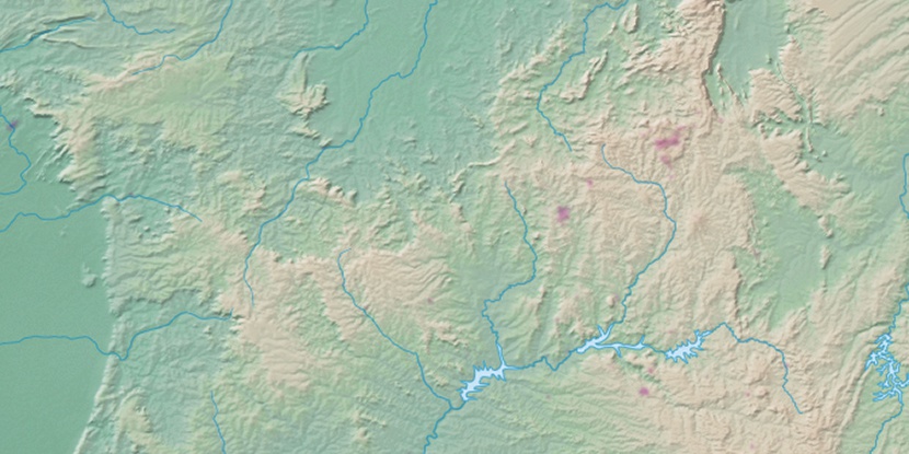
Marker is showing location of Fazenda Duas Irmas Airport on map(s). You can click on marker if you want to hide it.
 T: 0.00928 s.
2026 © Location.zone | Terms of use | Contact
 140°
140° 126°
126° 77°
77° 48°
48° 113°
113° 85°
85° 332°
332° 16°
16° 222°
222° 34°
34° 40°
40° 288°
288°