Sena Madureira Airfield (historical), (abandoned airfield) is located in Acre, in Brazil (America). It is placed in GMT-5 time zone with current time of 09:07 AM, Thursday. Offset from your time zone: minutes.
| Latitude | 

|
|
| decimal | -9.07167 | |
| DMS | 9° 4' 18.012" S | |
| Distances from | ||
| North pole | 11015.7 km | |
| Equator | 1008.7 km | |
| South pole | 8998.4 km | |
| Longitude | 
|
|
| decimal | -68.65425 | |
| DMS | 68° 39' 15.3" W | |
| Distance from prime meridian: 7525.1 km to West |
||
List of nearest places sort by population
Rio Branco 136.6 km 137°
137° 294°
294° 75°
75° 298°
298° 131°140°
 182°
182° 50°
50° 174°291°

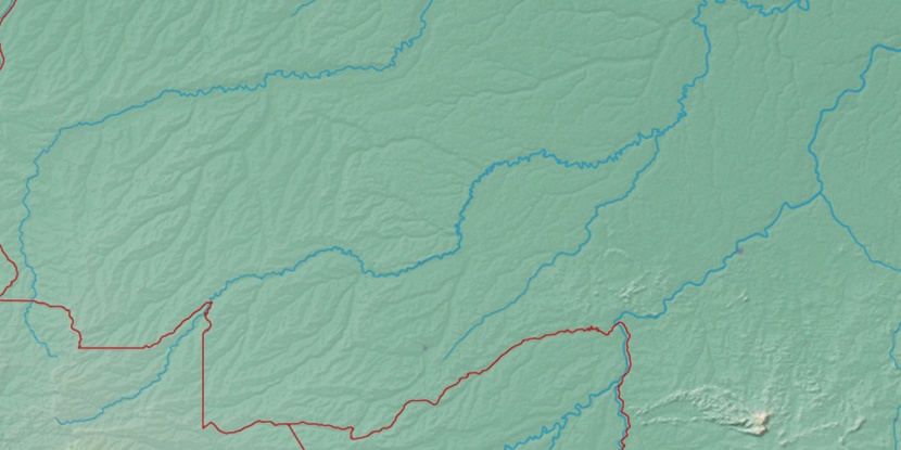
Marker is showing location of Sena Madureira Airfield (historical) on map(s). You can click on marker if you want to hide it.
 T: 0.0089 s.
2026 © Location.zone | Terms of use | Contact
 124°
124° 97°
97° 114°
114° 55°
55° 88°
88° 69°
69° 44°
44° 259°
259°