Praia do Una, (beach) is located in São Paulo, in Brazil (America). It is placed in GMT-3 time zone with current time of 12:42 PM, Thursday. Offset from your time zone: minutes.
| Latitude | 

|
|
| decimal | -24.48176 | |
| DMS | 24° 28' 54.336" S | |
| Distances from | ||
| North pole | 12729.2 km | |
| Equator | 2722.1 km | |
| South pole | 7284.9 km | |
| Longitude | 
|
|
| decimal | -47.12937 | |
| DMS | 47° 7' 45.732" W | |
| Distance from prime meridian: 4744.7 km to West |
||
List of nearest places sort by population
Itanhaém 47.9 km 46°
46° 24°
24° 36°50°
 269°
269° 239°
239° 5°
5° 289°15°
 303°
303°

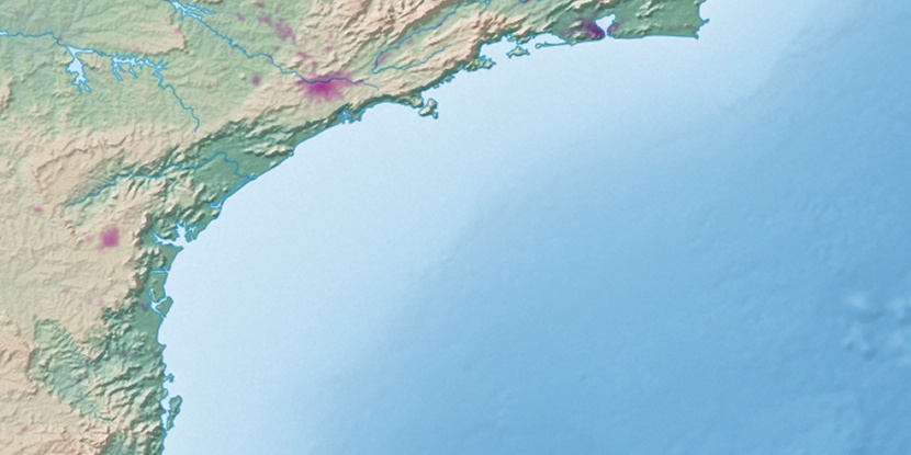
Marker is showing location of Praia do Una on map(s). You can click on marker if you want to hide it.
 T: 0.0099 s.
2026 © Location.zone | Terms of use | Contact
 25°
25° 66°
66° 355°
355° 329°
329° 246°
246°