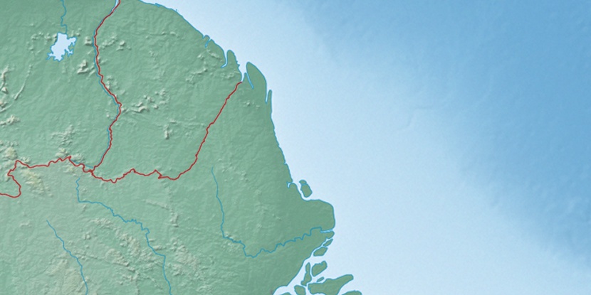
Oyapock River Bridge, (bridge) is located in Amapá, in Brazil (America). It is placed in GMT-3 time zone with current time of 10:34 AM, Thursday. Offset from your time zone: minutes.
| Latitude | 

|
|
| decimal | 3.856 | |
| DMS | 3° 51' 21.6" N | |
| Distances from | ||
| North pole | 9578.3 km | |
| Equator | 428.7 km | |
| South pole | 10435.8 km | |
| Longitude | 
|
|
| decimal | -51.82527 | |
| DMS | 51° 49' 30.972" W | |
| Distance from prime meridian: 5748.4 km to West |
||
List of nearest places sort by population
Macapá 432.7 km 168°170°166°
 187°
187° 144°
144° 156°
156° 184°160°172°177°

Marker is showing location of Oyapock River Bridge on map(s). You can click on marker if you want to hide it.
 T: 0.00884 s.
2026 © Location.zone | Terms of use | Contact
 119°
119° 229°
229° 125°
125° 148°
148° 205°
205° 42°
42° 48°
48° 281°
281° 255°
255°