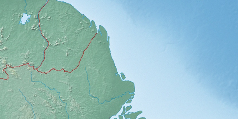
Cabo Caciporé, (cape) is located in Amapá, in Brazil (America). It is placed in GMT-3 time zone with current time of 11:24 AM, Thursday. Offset from your time zone: minutes.
| Latitude | 

|
|
| decimal | 3.91667 | |
| DMS | 3° 55' 0.012" N | |
| Distances from | ||
| North pole | 9571.6 km | |
| Equator | 435.5 km | |
| South pole | 10442.6 km | |
| Longitude | 
|
|
| decimal | -51.11667 | |
| DMS | 51° 7' 0.012" W | |
| Distance from prime meridian: 5669.4 km to West |
||
List of nearest places sort by population
Macapá 431.2 km 179°180°
 148°
148° 195°150°
 165°146°169°182°
 185°
185°

Marker is showing location of Cabo Caciporé on map(s). You can click on marker if you want to hide it.
 T: 0.00918 s.
2026 © Location.zone | Terms of use | Contact
 163°
163° 143°
143° 121°
121° 231°
231° 126°
126° 206°
206° 42°
42° 48°
48° 281°
281° 255°
255°