INB ura, (mining camp) is located in Bahia, in Brazil (America). It is placed in GMT-3 time zone with current time of 09:44 AM, Thursday. Offset from your time zone: minutes.
| Latitude | 

|
|
| decimal | -13.83595 | |
| DMS | 13° 50' 9.42" S | |
| Distances from | ||
| North pole | 11545.5 km | |
| Equator | 1538.4 km | |
| South pole | 8468.6 km | |
| Longitude | 
|
|
| decimal | -42.28616 | |
| DMS | 42° 17' 10.176" W | |
| Distance from prime meridian: 4559.1 km to West |
||
List of nearest places sort by population
Guanambi 68.6 km 231°
231° 121°
121° 218°
218° 66°
66° 333°
333° 289°
289° 143°
143° 77°
77° 174°
174° 6°
6°

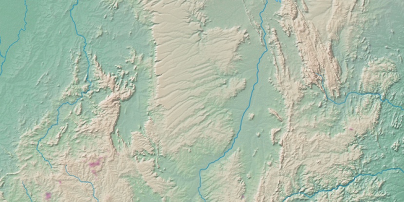
Marker is showing location of INB ura on map(s). You can click on marker if you want to hide it.
 T: 0.00891 s.
2026 © Location.zone | Terms of use | Contact
 202°
202° 185°
185° 20°
20° 250°
250° 209°
209° 301°
301° 51°
51° 29°
29° 36°
36° 262°
262°