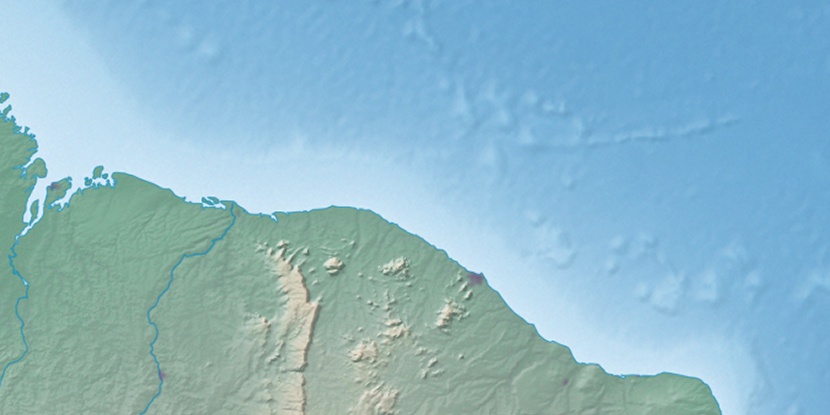
Enseada Timbaúba, (cove(s)) is located in Ceará, in Brazil (America). It is placed in GMT-3 time zone with current time of 12:41 PM, Thursday. Offset from your time zone: minutes.
| Latitude | 

|
|
| decimal | -2.83333 | |
| DMS | 2° 49' 59.988" S | |
| Distances from | ||
| North pole | 10322.1 km | |
| Equator | 315 km | |
| South pole | 9692 km | |
| Longitude | 
|
|
| decimal | -40.15 | |
| DMS | 40° 9' 0" W | |
| Distance from prime meridian: 4458.6 km to West |
||
List of nearest places sort by population
Itapipoca 97.1 km 139°
139° 264°
264° 150°
150° 246°
246° 185°
185° 179°148°184°
 215°
215° 196°
196°

Marker is showing location of Enseada Timbaúba on map(s). You can click on marker if you want to hide it.
 T: 0.00899 s.
2026 © Location.zone | Terms of use | Contact
 170°
170° 118°
118° 210°
210° 269°
269° 134°
134° 279°
279° 32°
32° 39°
39° 47°
47° 77°
77°